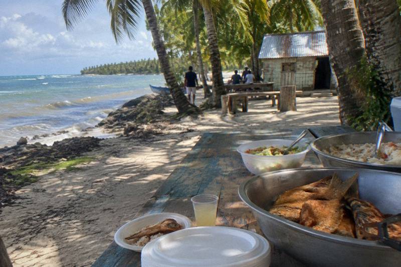
Saona Island Map: Where It Is And How Far From Punta Cana
Saona Island sits off the southeastern coast of the Dominican Republic, inside Parque Nacional Cotubanamá, and every boat to it leaves from the Bayahibe pier. Here is where it is, how far it is from the main resort areas, and what those distances mean for the day.
Short answer
The drive to the Bayahibe pier runs about 68.3 km from the Bavaro hotel zone and 69.7 km from Punta Cana airport, roughly an hour's drive to the Bayahibe pier followed by a boat crossing of usually 20 to 60 minutes by speedboat or 1 to 2 hours by catamaran. La Romana is about 24 km away and Dominicus just 3.9 km from the departure point.
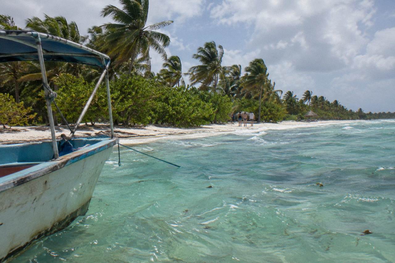
Saona Island sits on the Caribbean side of the Dominican Republic's southeast coast, a protected sliver of sand and mangrove inside Parque Nacional Cotubanamá, and the map explains almost everything about how a visit works. There is no bridge, no ferry line and no road: every single visitor arrives by boat from the Bayahibe pier area, which means the "distance to Saona" question is really two questions, how far your hotel is from Bayahibe by road, and how long the sea crossing takes from there. The road leg is fixed and predictable. The sea leg depends on the vessel, the sea state and the operator.
That geography is also why the island looks the way it does. Because Saona guards the Bayahibe and La Romana coastline from the open Caribbean, the beaches facing the mainland are calm, shallow and postcard-turquoise, and the whole island is managed by the Ministry of Environment as a national park rather than developed as a resort strip. Visitors cannot stay overnight, cannot remove starfish, shells, coral or sand, and pay entry by wristband at the park checkpoint, roughly US$10 to 12 per foreign adult according to independent visitor guides, with many tours bundling the fee into the ticket price. Organized boats from the Bayahibe pier are the only practical way in, and Saona trips reach them with road transfers from Punta Cana, Bávaro, La Romana and Bayahibe. That raises the practical question of where to sleep, and our guide to Saona Island hotels and staying overnight explains how to base yourself in Bayahibe, Punta Cana or La Romana and day trip in.
This guide walks through where the island actually is, the driving distances from every major resort area, the crossing itself, and how the departure point shapes the tour you end up on. If you want the fuller logistics picture, the companion piece on how to get to Saona Island covers transfers and booking in more depth, while this page stays on the map itself.
Where Exactly Is Saona Island On The Map?
Saona Island lies off the southeastern coast of the Dominican Republic, separated from the mainland by the Catuano passage, south of the Bayahibe pier as the boat runs. The island is the southern chunk of Parque Nacional Cotubanamá, a protected area that also wraps the mainland coast opposite it, and its western tip points toward Casa de Campo and La Romana while its eastern side faces the open Caribbean.
Open any map of the Dominican Republic and find Punta Cana at the far eastern tip. Now trace the coast south and west: Bavaro, then Punta Cana village and Cap Cana, then the coast bends westward past Boca de Yuma, and about 50 km along that curve you reach Bayahibe and Dominicus, the small beach towns that serve as the gateway. Saona hangs off that stretch of coast, close enough that the crossing feels like a hop and far enough that no one swims or kayaks it on a tour.
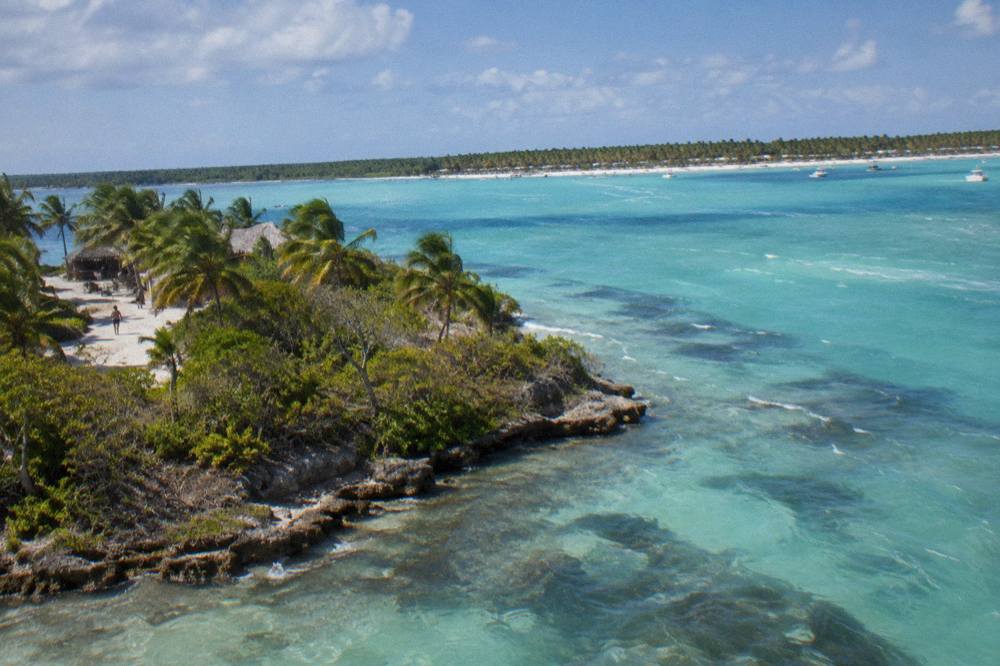
The island itself is long and roughly boot-shaped, with the main visitor beaches, Canto de la Playa and the stretch near Mano Juan village, along its sheltered western and southern shores. The famous shallow sandbar everyone photographs, the Piscina Natural or natural pool, sits in the channel near the shallow sandbar of the Natural Pool near Palmilla, between Saona and the mainland. It is a stop on most, though not all, itineraries, usually for 30 to 45 minutes, and it is the one spot where the water is genuinely waist-deep for hundreds of meters.
A point that surprises many first-time visitors: Saona is not the only protected island here. Monumento Natural Isla Catalina sits a short sail west, off La Romana, and appears on the map almost as an extension of the same park system even though it is a separate protected area with its own character. The comparison between the two islands, and which one suits which traveler, is covered in the guide to Saona Island versus Catalina Island, but on the map the key difference is simple: Catalina is reached from La Romana, Saona from Bayahibe.
How Far Is Saona Island From Punta Cana And Bavaro?
Saona Island sits about 68.3 km by road from central Bavaro, or 69.7 km from Punta Cana airport, to the Bayahibe pier, followed by a boat crossing, so plan on roughly an hour of driving on the Autopista del Coral each way plus time at sea. Door to door, tours from Punta Cana and Bavaro run about 7 to 11 hours, with pickups starting between 6:30 and 8:00 in the morning. Since a full day on the water is a big commitment, check the guide to sargassum season on the Punta Cana coast to see why Saona and Bayahibe often enjoy clearer water than beaches farther north.
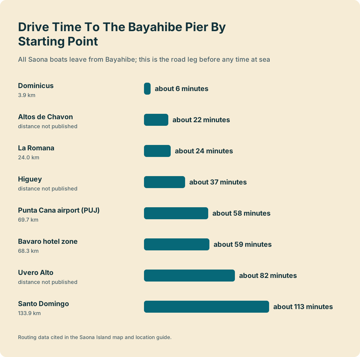
The road leg deserves more respect than it gets. The Autopista del Coral is a modern toll highway and the drive is genuinely scenic in stretches, cutting through sugar cane and cattle country, but it is still an hour in a minivan before you see a boat. Measured on the routing data, Punta Cana airport sits 58 minutes and 69.7 km from the Bayahibe pier, the central Bavaro hotel zone about 59 minutes and 68.3 km, and Uvero Alto at the far northern end of the strip about 82 minutes. Operators typically quote 60 to 90 minutes door to dock, and traffic in the high season can push toward the upper end.
Here is what the drive times look like from each main starting point, computed on free-flow conditions, so treat them as about-right rather than guaranteed:
| Starting point | Drive to Bayahibe pier | Distance |
|---|---|---|
| Punta Cana airport (PUJ) | about 58 minutes | 69.7 km |
| Bavaro hotel zone | about 59 minutes | 68.3 km |
| Uvero Alto | about 82 minutes | not published |
| La Romana | about 24 minutes | 24.0 km |
| Altos de Chavon | about 22 minutes | not published |
| Dominicus | about 6 minutes | 3.9 km |
| Higuey | about 37 minutes | not published |
| Santo Domingo | about 113 minutes | 133.9 km |
Because the road leg is unavoidable from Punta Cana, most tours from that side bundle it: hotel pickup, the highway run, the boat, lunch and the return transfer in one ticket. The all-inclusive Saona Island trip from Punta Cana is a typical example of the format. Group catamaran day trips run from about US$63 to US$116 per person, depending on inclusions and group size. The Punta Cana excursions guide puts Saona in context against the other big day trips from that hub.
For travelers who would rather skip the hour in a van, the map offers an alternative: stay or base yourself in Bayahibe or Dominicus and the pier is minutes away. The difference is significant enough that the Bayahibe versus Punta Cana comparison is worth a read before you book a hotel.
Whether you board at Bayahibe or take the full transfer from Punta Cana, these three listings cover the main formats the map gets translated into a day out:
Which Town Do The Boats To Saona Leave From?
Every organized Saona departure leaves from the Bayahibe pier area, including the nearby points that serve the Dominicus resorts, roughly 4 to 6 km south of the village center. There are no boat departures from Bavaro or Punta Cana beaches, no scheduled public ferry, and no road access of any kind to the island, which sits inside a national park where day visits are the only option.
This is the single most map-defining fact about Saona. Punta Cana's beaches face the Atlantic, and the protected island lies on the Caribbean side of the coast, so any "Saona tour from Punta Cana" is by definition a road transfer to Bayahibe plus a boat. Bayahibe itself is a former fishing village, small enough to walk end to end, and its working dock has always doubled as the island's gateway. Independent travelers sometimes negotiate a spot on a local lancha, a small boat that shuttles to Mano Juan village when full, but that is a crossing, not a tour: no lunch, no guide, no natural pool stop, and the return time has to be agreed in advance.
The pier area got a meaningful upgrade recently. In December 2025 a new visitor parking facility opened at Playa Bayahibe, with sidewalks, drainage, signage and a pedestrian bridge, an investment of about RD$213 million aimed at easing the congestion that used to build around the embarkation points. On the ground this means the morning boarding scrum is more organized than older trip reports describe, though high-season mornings are still busy.
The departure point also shapes the product. Tours sold from Bayahibe start on the water within minutes of leaving your hotel, which is why the Saona Island excursion from Bayahibe is the roster's natural pick for anyone staying in Bayahibe, Dominicus or La Romana, and why the dedicated guide to the Saona tour from Bayahibe and La Romana reads so differently from its Punta Cana counterpart. From Santo Domingo, about 113 minutes down the coast road, a handful of departures exist in the US$88 to US$130 per person range, covered in the Santo Domingo departure guide.
How Long Is The Boat Crossing From Bayahibe To Saona?
The crossing from the Bayahibe pier to Saona usually takes 20 to 60 minutes by speedboat and 1 to 2 hours by catamaran, depending on the sea state, the landing beach and the operator's route. Many mixed itineraries run speedboat out and catamaran back, so the same day can include both crossing times, with the natural pool stop folded into the slower leg.
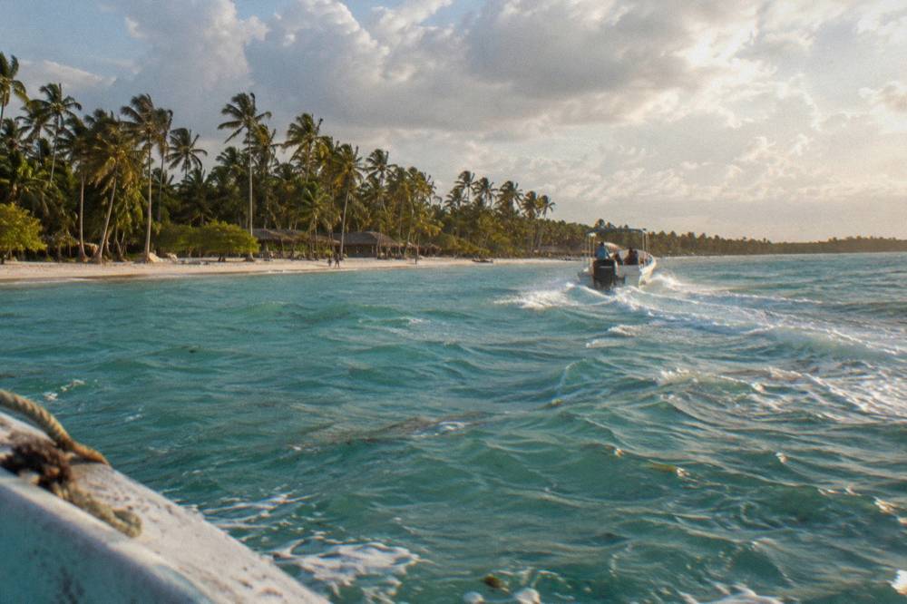
Why such a wide range for a short distance? Because the boats stop being transport and become the tour. A direct speedboat run to Canto de la Playa is quick; a catamaran that drifts out to the Piscina Natural, anchors for a swim among the starfish and then ambles down the coast to the lunch beach is deliberately slow, open bar and music included. Neither is the "real" crossing time, both are choices, and the listing describes which one you are buying.
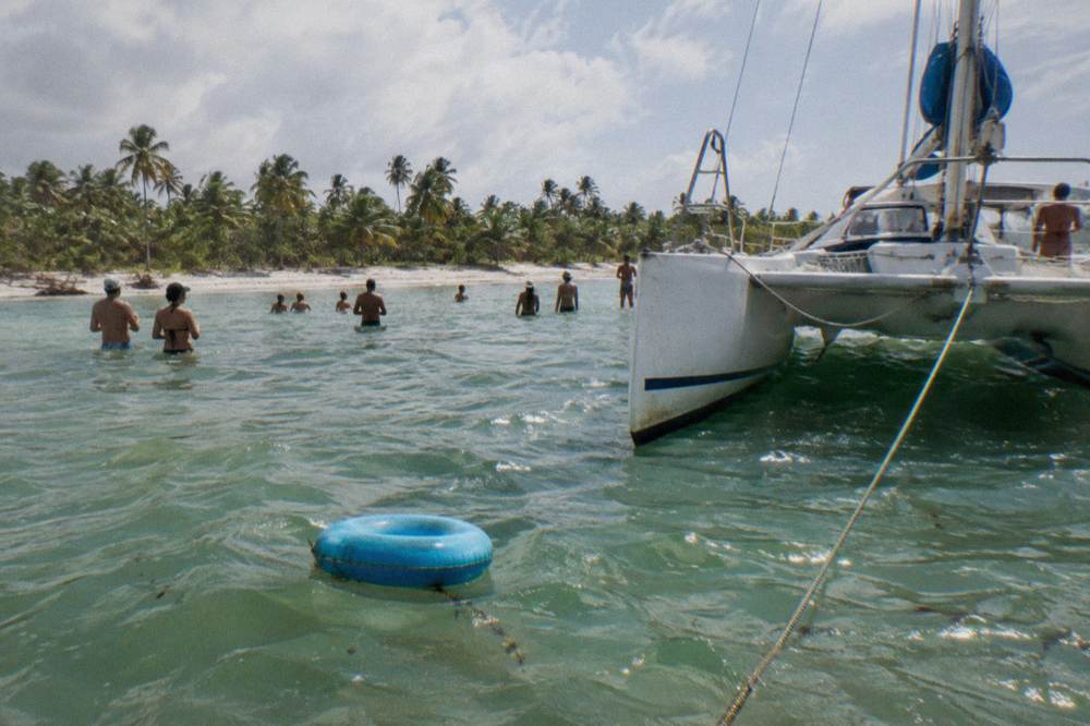
The two formats split the roster almost evenly, and the map is the reason the choice matters:
| Vessel | Typical crossing | What the map journey looks like |
|---|---|---|
| Speedboat | usually 20 to 60 minutes | Direct run to the island, often the natural pool first, more time ashore |
| Catamaran | usually 1 to 2 hours | Slow drift with drinks, natural pool anchorage, the ride is part of the day |
| Mixed out-and-back | both of the above | Speedboat out for time, catamaran return for the party |
The sea state point is honest rather than cautionary. The channel is normally calm, it is sheltered Caribbean water, but the Ministry of Environment runs the island as a protected area and operators adjust landings and anchorages to conditions, which can lengthen or shorten any given leg. The deeper dive into formats, prices and inclusions is in the tour types compared guide.
What Does Saona Island Look Like From Above?
From above, Saona reads as a long, low limestone and sand island fringed by shallow turquoise flats on its mainland side and a greener, wilder line of coast facing the open Caribbean. The inhabited point is Mano Juan, a small fishing village on the island's southern shore, while the postcard beaches cluster along the sheltered west and south, and dense mangrove and forest fill the interior.
The map and the itinerary are the same story told twice. Canto de la Playa, the cream-colored beach most tours use for lunch, sits on the southwestern shore where the water stays calm. Mano Juan, with its pastel wooden houses and the small turtle sanctuary, sits closer to the southern tip and appears on itineraries that emphasize the village and the turtle sanctuary visit. The natural pool is not on the island at all but in the channel beside it, which is why no map of the island itself marks it cleanly.
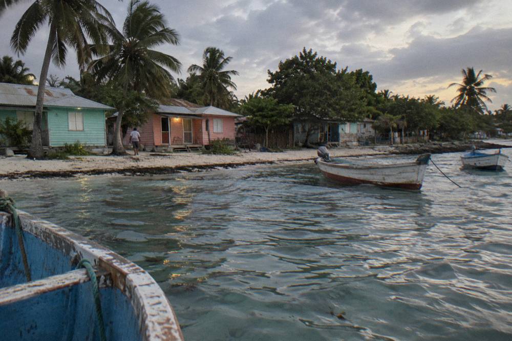
A useful mental map of the island's visitor geography:
| Place on the map | What it is | Role in a typical day |
|---|---|---|
| Canto de la Playa | Southwestern beach | Buffet lunch and the longest beach stop on most tours |
| Mano Juan | Fishing village, southeastern shore | Short village walk, turtle sanctuary, on select itineraries |
| Piscina Natural (Palmilla) | Sandbar in the channel, off-island | 30 to 45 minute swim stop, starfish viewing, no touching |
| Bayahibe pier | Mainland departure point | All boarding, park wristbands, return landings |
Park rules shape what the map allows. Nothing may be removed, not starfish, not shells, not sand, and the wristband system described on the Ministry of Environment's protected-area visit service page is how entry is paid and checked for walk-up visitors. Tours that bundle the fee simply hand you the wristband on the boat. The natural pool is where the no-touch rule is policed most firmly, because the starfish there are the reason the sandbar is famous in the first place.
Which Departure Point On The Map Fits Your Trip?
Choose Bayahibe or Dominicus if you are staying there and want the shortest day, La Romana if you are at Casa de Campo or cruising into the nearby port, and Punta Cana or Bavaro if you are resort-based and want the bundled transfer. From Santo Domingo the drive is about two hours each way, which turns Saona into a genuinely long day from the capital.
The map is really a decision tree. Roughly 37 of the 40 verified listings price per person, with a median from-price of about US$100, and where you start explains most of the spread. Group catamaran day trips run from about US$63 to US$116 per person, small group and VIP speedboat trips from US$75 to US$169, and private boat charters, priced per group, from US$820 to US$1,490. None of those numbers include tipping, which is customary rather than compulsory, or the few dollars of incidentals vendors sell on the beach.
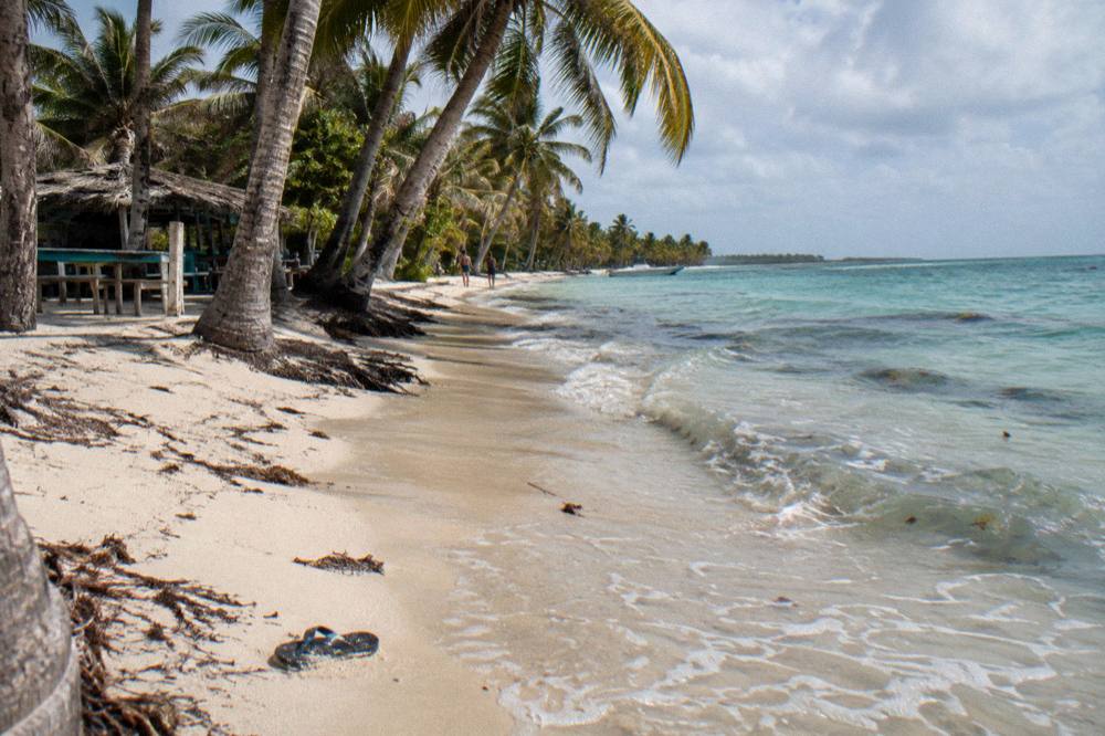
Here is the same decision as a table:
| You are staying in | Drive to the pier | Best-fit tour format | Typical door-to-door day |
|---|---|---|---|
| Bayahibe or Dominicus | under 10 minutes | direct Bayahibe departure | about 6 to 8 hours |
| La Romana or Casa de Campo | about 24 minutes | Bayahibe departure with pickup | about 6 to 9 hours |
| Bavaro or Punta Cana | about an hour | bundled transfer tours | about 7 to 11 hours |
| Uvero Alto | about 82 minutes | bundled transfer tours | the longest resort day |
| Santo Domingo | about 113 minutes | dedicated capital departures | full day, early start |
The beaches closest to the pier have their own following, and the Bayahibe beaches guide is worth reading if your map plans include mainland beach time before or after the island. For the fuller budget picture, the guide to Saona tour prices and what is included breaks the from-prices down by format, including which listings state park entry as included, 11 of the 40 do, and which stay silent. If you want to build more into the same trip, the guide to things to do in La Romana before or after Saona covers Altos de Chavon, Catalina Island, and how the Bayahibe docks fit into your day.
For travelers who like the four-beaches routing that hugs the island's southwestern shore, the Saona tour of the 4 beaches with Canto de la Playa is one of the listings built exactly around that geography, or check availability on the operator's live listing.
How Does The Island's Location Affect Weather And Seaweed?
Saona's position on the Caribbean side of the coast means it generally sees less sargassum seaweed than the Atlantic-facing beaches of Bavaro and Punta Cana, because the island deflects drifting weed westward, but no beach is guaranteed clear on any given day. The dry season from December to April brings the most reliable sunshine and calmest seas, while September and October are statistically the wettest months.
The geography does real work here. East-facing Atlantic beaches catch the sargassum belts that drift in from the open ocean, while Bayahibe and Saona sit tucked behind the island in its lee, which is why monitoring bulletins in 2026 repeatedly noted lighter beaching on this stretch even in a heavy regional seaweed year. Operators adjust landing beaches when weed arrives, and asking the operator about current conditions the day before is the only honest answer to the seaweed question.
Rain follows the standard Caribbean pattern rather than anything island-specific. Thirty-year averages put February and March as the driest months at around 40 mm each and September as the wettest at about 175 mm, with the Atlantic hurricane season running June 1 to November 30 and peaking mid-August to mid-October. The calm, sunny, crowd-heavy window is December to April; May, June and November are the value months. The full breakdown, including what it means for tour prices and crowds, is in the best time to visit Saona Island guide.
If the sailing rather than the seaweed is your weather concern, note that operators cancel or reroute for rough seas and high winds, typically with a full refund when the operator cancels, so a weather-scrubbed day costs you the day, not the money. Entry formalities never complicate an island day, but air arrivals should complete the free Dominican E-Ticket form before landing; most Western nationalities need no visa for stays up to 30 days.
Common Questions About Saona Island Map And Location
Where Exactly Is Saona Island On The Map?
Saona Island lies off the southeastern coast of the Dominican Republic, southeast of Bayahibe and inside Parque Nacional Cotubanamá, with its sheltered beaches facing the mainland across a calm channel.
How Far Is Saona Island From Punta Cana?
About 69.7 km by road from Punta Cana airport, or 68.3 km from the Bavaro hotel zone, to the Bayahibe pier, roughly an hour of driving, followed by a boat crossing of usually 20 to 60 minutes by speedboat or 1 to 2 hours by catamaran.
Do Boats To Saona Leave From Punta Cana?
No. Every Saona boat departs from the Bayahibe pier area, including the points serving the Dominicus resorts. Tours sold from Punta Cana include a road transfer to Bayahibe before the crossing.
Is There A Ferry To Saona Island?
There is no scheduled public ferry. Access is by organized tour boats from Bayahibe, or by informal local lanchas to Mano Juan village that run when full and must be negotiated on site.
How Long Does The Boat Ride To Saona Take?
Usually 20 to 60 minutes by speedboat and 1 to 2 hours by catamaran, depending on the sea, the landing beach and the operator. Many tours run speedboat out and catamaran back.
Can You See Saona Island From The Mainland?
Yes, on clear days the island is visible from Bayahibe and Dominicus beaches, lying low on the horizon a short crossing away across the turquoise channel.